Difference between revisions of "List of cities of Creeperopolis by population"
Jump to navigation
Jump to search
m (Text replacement - "use Lyoan" to "use Jackian") |
|||
| (4 intermediate revisions by the same user not shown) | |||
| Line 25: | Line 25: | ||
{{Location map~|Creeperopolis|lat=-39.52|long=-19.0|label={{nowrap|[[San Nicolás, San Carlos Islands|San Nicolás]]}}|position=left}} | {{Location map~|Creeperopolis|lat=-39.52|long=-19.0|label={{nowrap|[[San Nicolás, San Carlos Islands|San Nicolás]]}}|position=left}} | ||
{{Location map~|Creeperopolis|lat=-48.77|long=-48.3|label=[[San Pedro, San Pedro|San Pedro]]|position=right}} | {{Location map~|Creeperopolis|lat=-48.77|long=-48.3|label=[[San Pedro, San Pedro|San Pedro]]|position=right}} | ||
| − | {{Location map~|Creeperopolis|lat=-30.27|long=-35.05|label=[[ | + | {{Location map~|Creeperopolis|lat=-30.27|long=-35.05|label=[[Nuevo Xichútepa]]|position=right}} |
{{Location map~|Creeperopolis|lat=-42.22|long=-56.8|label={{nowrap|[[San Salvador, San Salvador|San Salvador]]}}|position=top}} | {{Location map~|Creeperopolis|lat=-42.22|long=-56.8|label={{nowrap|[[San Salvador, San Salvador|San Salvador]]}}|position=top}} | ||
{{Location map~|Creeperopolis|lat=-44.22|long=-54.8|label={{nowrap|[[Tuxtla Martínez]]}}|position=bottom}} | {{Location map~|Creeperopolis|lat=-44.22|long=-54.8|label={{nowrap|[[Tuxtla Martínez]]}}|position=bottom}} | ||
| − | {{Location map~|Creeperopolis|lat=-45.12|long=-33.12|label=[[Victoria]]|position=right}} | + | {{Location map~|Creeperopolis|lat=-45.12|long=-33.12|label=[[Victoria, Atlántida|Victoria]]|position=right}} |
}} | }} | ||
| Line 105: | Line 105: | ||
|- | |- | ||
! scope="row" | 8 | ! scope="row" | 8 | ||
| − | | style="text-align:left;background:#ccff99" | '''''[[ | + | | style="text-align:left;background:#ccff99" | '''''[[Nuevo Xichútepa]]''''' |
| − | | align="left" | {{flagicon image|Flag of San Romero.png}} [[ | + | | align="left" | {{flagicon image|Flag of San Romero.png}} [[Xichútepa (department)|Xichútepa]] |
| 4,124,697 | | 4,124,697 | ||
| − | | [[File:WMA button2b.png|17px|link=Creeperopolis]] [[ | + | | [[File:WMA button2b.png|17px|link=Creeperopolis]] [[Nuevo Xichútepa|{{color|#3366BB|47°10′07″S 44°43′12″W}}]] |
|- | |- | ||
! scope="row" | 9 | ! scope="row" | 9 | ||
| − | | style="text-align:left;background:#ccff99" | '''''[[Victoria]]''''' | + | | style="text-align:left;background:#ccff99" | '''''[[Victoria, Atlántida|Victoria]]''''' |
| align="left" | {{flagicon image|Flag of Atlántida Department.png}} [[Atlántida (department)|Atlántida]] | | align="left" | {{flagicon image|Flag of Atlántida Department.png}} [[Atlántida (department)|Atlántida]] | ||
| 4,106,739 | | 4,106,739 | ||
| Line 182: | Line 182: | ||
|- | |- | ||
! scope="row" | 19 | ! scope="row" | 19 | ||
| − | | style="text-align:left" | [[Citalá, | + | | style="text-align:left" | [[Citalá, Xichútepa|Citalá]] |
| − | | align="left" | {{flagicon image|Flag of San Romero.png}} [[ | + | | align="left" | {{flagicon image|Flag of San Romero.png}} [[Xichútepa (department)|Xichútepa]] |
| 2,910,355 | | 2,910,355 | ||
| − | | [[File:WMA button2b.png|17px|link=Creeperopolis]] [[Citalá, | + | | [[File:WMA button2b.png|17px|link=Creeperopolis]] [[Citalá, Xichútepa|{{color|#3366BB|47°10′07″S 44°43′12″W}}]] |
|- | |- | ||
| Line 204: | Line 204: | ||
! scope="row" | 22 | ! scope="row" | 22 | ||
| style="text-align:left;background:#ccff99" | '''''[[Puerto Senvar]]''''' | | style="text-align:left;background:#ccff99" | '''''[[Puerto Senvar]]''''' | ||
| − | | align="left" | {{flagicon image| | + | | align="left" | {{flagicon image|Flag of Senvar (1733–1772).jpeg}} [[Senvar (department)|Senvar]] |
| 2,111,365 | | 2,111,365 | ||
| [[File:WMA button2b.png|17px|link=Creeperopolis]] [[Puerto Senvar|{{color|#3366BB|47°10′07″S 44°43′12″W}}]] | | [[File:WMA button2b.png|17px|link=Creeperopolis]] [[Puerto Senvar|{{color|#3366BB|47°10′07″S 44°43′12″W}}]] | ||
Latest revision as of 04:13, 1 April 2024
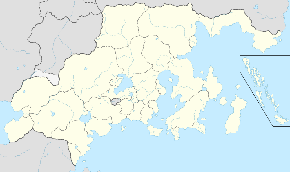
This is a list of the most populous incorporated places of Creeperopolis, including the 100 largest cities, towns, and villages which are officially recognized as incorporated entities. The populations and designations of places in Creeperopolis are maintained by the Ministry of Internal Affairs. The following list displays the population of the city limits, not the metropolitan area, as of 1 December 2021.
| Rank | Department | Pop. | Rank | Department | Pop. | ||||
|---|---|---|---|---|---|---|---|---|---|
 San Salvador  Adolfosburg |
1 | San Salvador | San Salvador | 12,432,429 | 11 | San Salvador del Norte | San Salvador del Norte | 3,963,185 |  Salvador  La'Libertad |
| 2 | Adolfosburg | Adolfosburg | 9,338,138 | 12 | San Pedro | San Pedro | 3,770,428 | ||
| 3 | Salvador | Salvador | 7,539,128 | 13 | Puerto Atlántida | Atlántida del Sur | 3,684,249 | ||
| 4 | La'Libertad | La'Libertad del Norte | 5,819,239 | 14 | Denshire | Jakiz | 3,512,429 | ||
| 5 | Chalatenango | Castilliano | 4,777,439 | 15 | Panachor | Zapatista | 3,329,144 | ||
| 6 | Tuxtla Martínez | Zapatista | 4,329,125 | 16 | Teguracoa | Adolfosburg | 3,210,410 | ||
| 7 | Bautista | San Salvador | 4,176,539 | 17 | Pasadena | San Salvador | 3,083,568 | ||
| 8 | Nuevo Xichútepa | Xichútepa | 4,124,697 | 18 | Sonsonate | Sonsonsate | 2,975,569 | ||
| 9 | Victoria | Atlántida | 4,106,739 | 19 | Citalá | Xichútepa | 2,910,355 | ||
| 10 | Santa María | Santa María | 4,097,295 | 20 | La'Victoria | San Luís | 2,894,219 | ||
List of largest cities
| National and departmental capital and largest city | |
| Departmental capital and largest city | |
| Departmental capital | |
| Departmental largest city |

