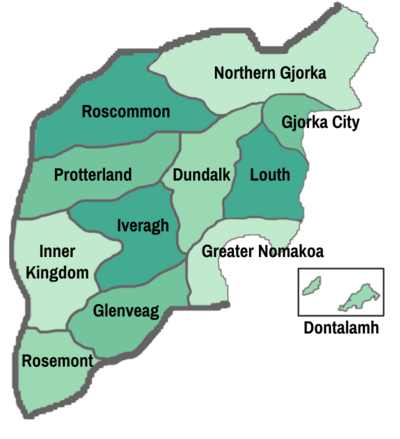
Difference between revisions of "Template:Districts of Gjorka imagemap"
Jump to navigation
Jump to search
| Line 6: | Line 6: | ||
poly 90 275 89 297 217 297 216 272 [[Protterland]] | poly 90 275 89 297 217 297 216 272 [[Protterland]] | ||
poly 284 274 284 297 379 296 376 274 [[Dundalk]] | poly 284 274 284 297 379 296 376 274 [[Dundalk]] | ||
| − | poly 410 273 410 298 477 298 477 273 [[ | + | poly 410 273 410 298 477 298 477 273 [[Louth]] |

