File:States of Monsilva.png
Jump to navigation
Jump to search

Size of this preview: 800 × 578 pixels. Other resolutions: 320 × 231 pixels | 2,957 × 2,136 pixels.
Original file (2,957 × 2,136 pixels, file size: 215 KB, MIME type: image/png)
Summary
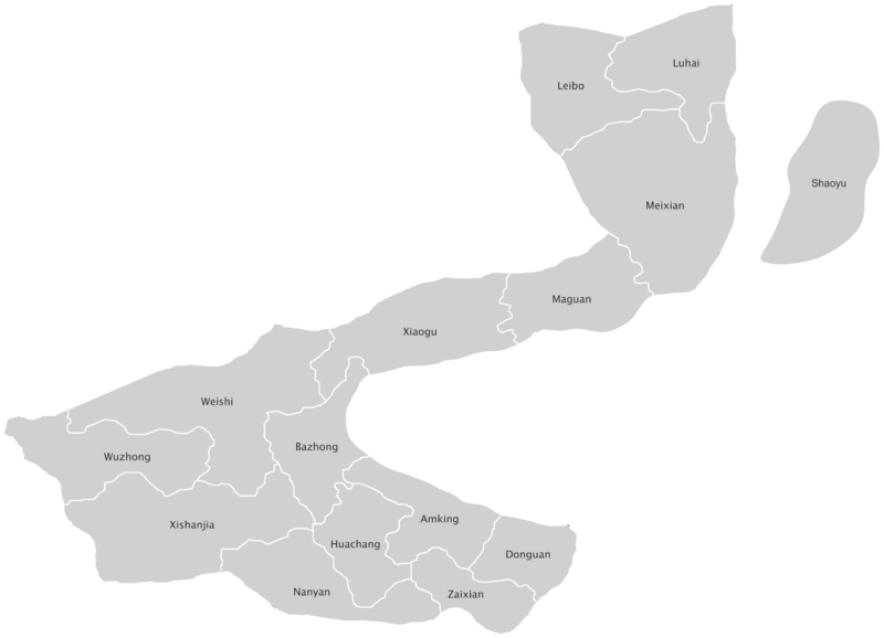
A map of the states of Monsilva labelled (inc. Monsilvan)
File history
Click on a date/time to view the file as it appeared at that time.
| Date/Time | Thumbnail | Dimensions | User | Comment | |
|---|---|---|---|---|---|
| current | 14:26, 24 January 2024 | | 2,957 × 2,136 (215 KB) | Leimur (talk | contribs) | |
| 19:23, 29 March 2023 | 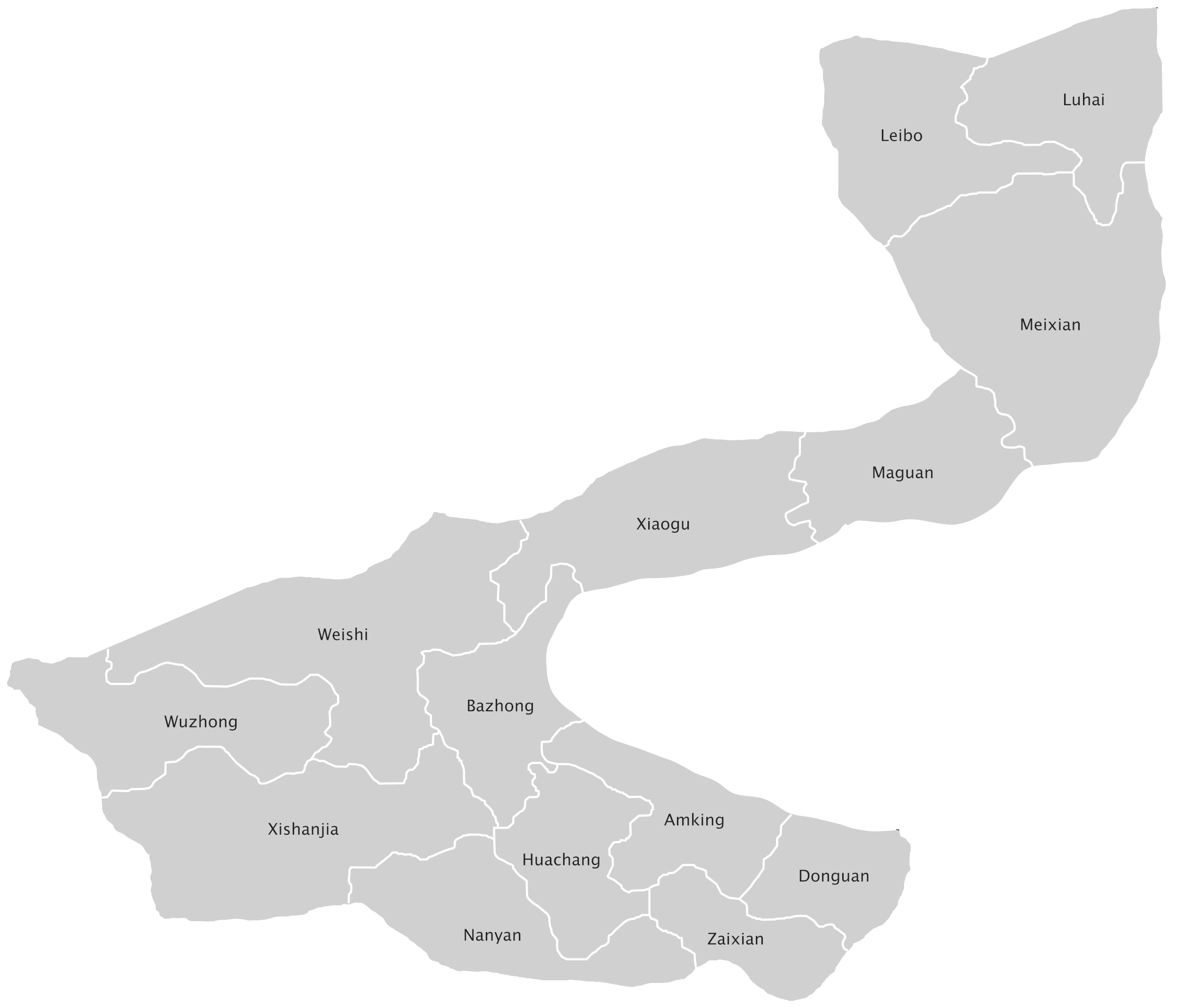 | 2,544 × 2,136 (198 KB) | Leimur (talk | contribs) | ||
| 19:20, 29 March 2023 | Error creating thumbnail: File with dimensions greater than 12.5 MP | 16,958 × 14,242 (1.41 MB) | Leimur (talk | contribs) | ||
| 15:28, 28 December 2022 | 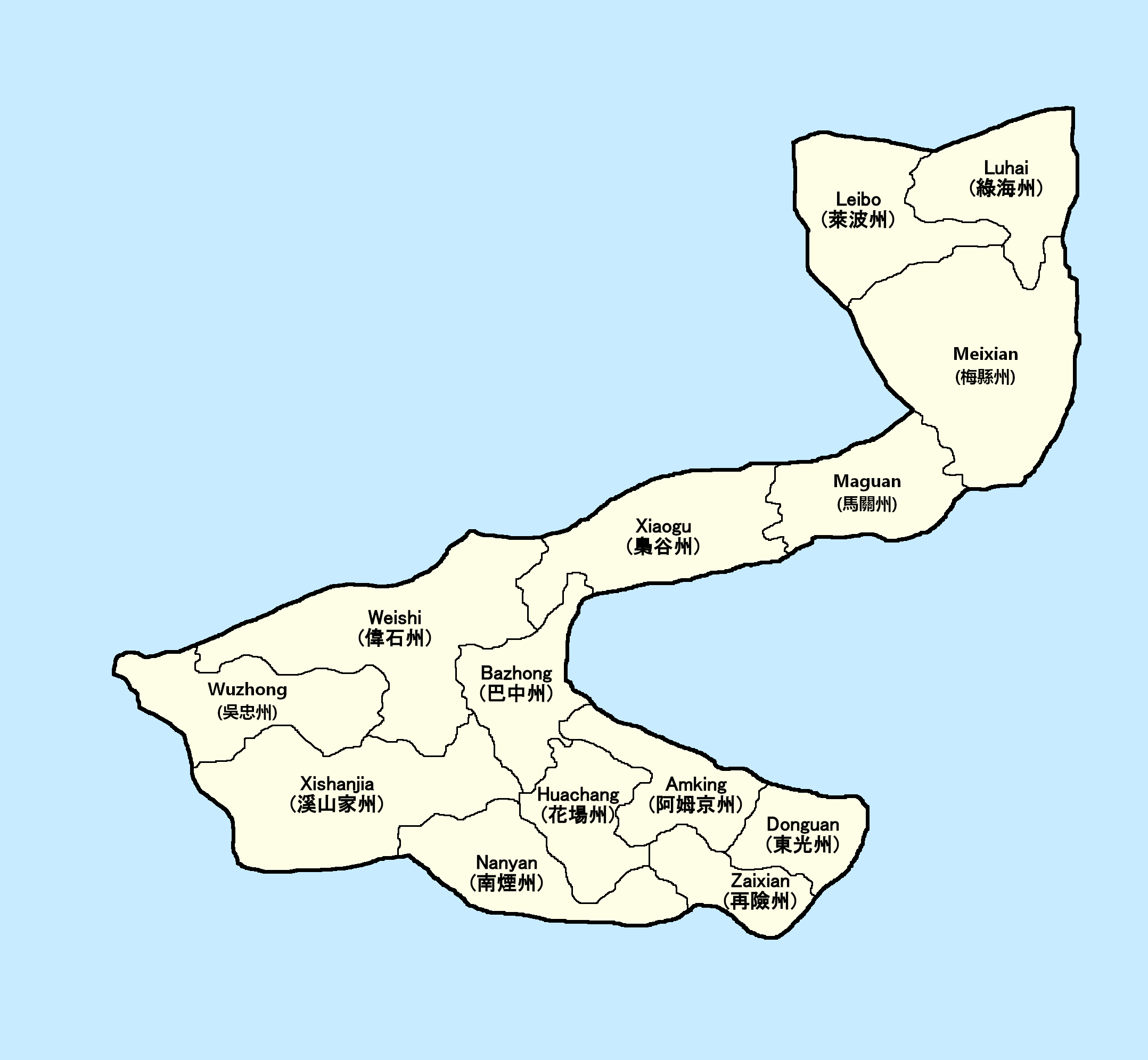 | 2,156 × 1,991 (162 KB) | Leimur (talk | contribs) | ||
| 08:58, 20 November 2022 | 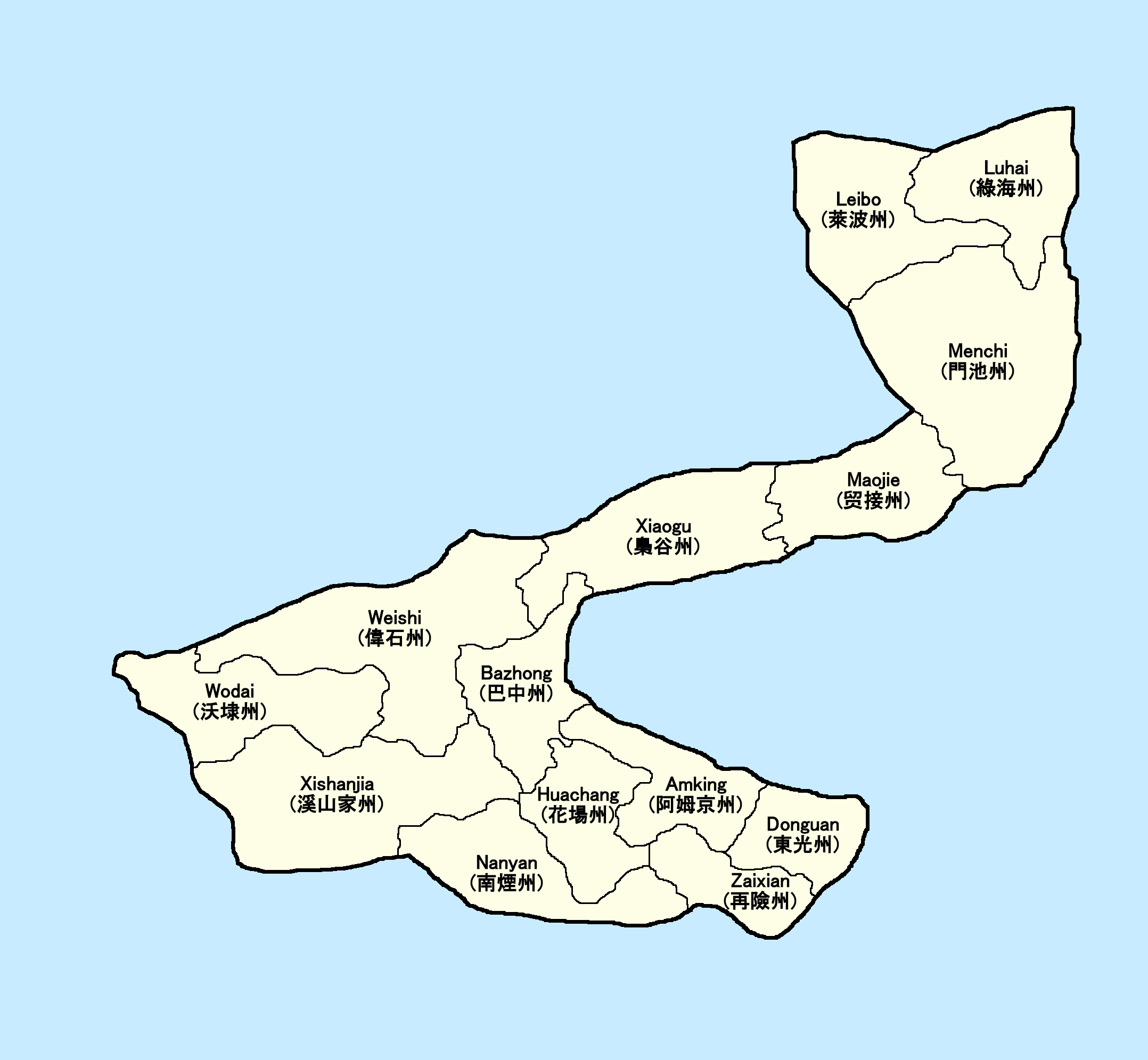 | 2,156 × 1,991 (165 KB) | Leimur (talk | contribs) | A map of the states of Monsilva labelled (inc. Monsilvan) |
You cannot overwrite this file.
File usage
The following 3 pages use this file: