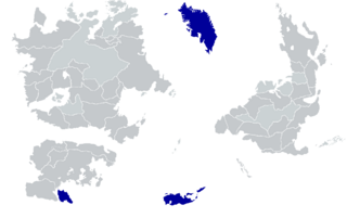
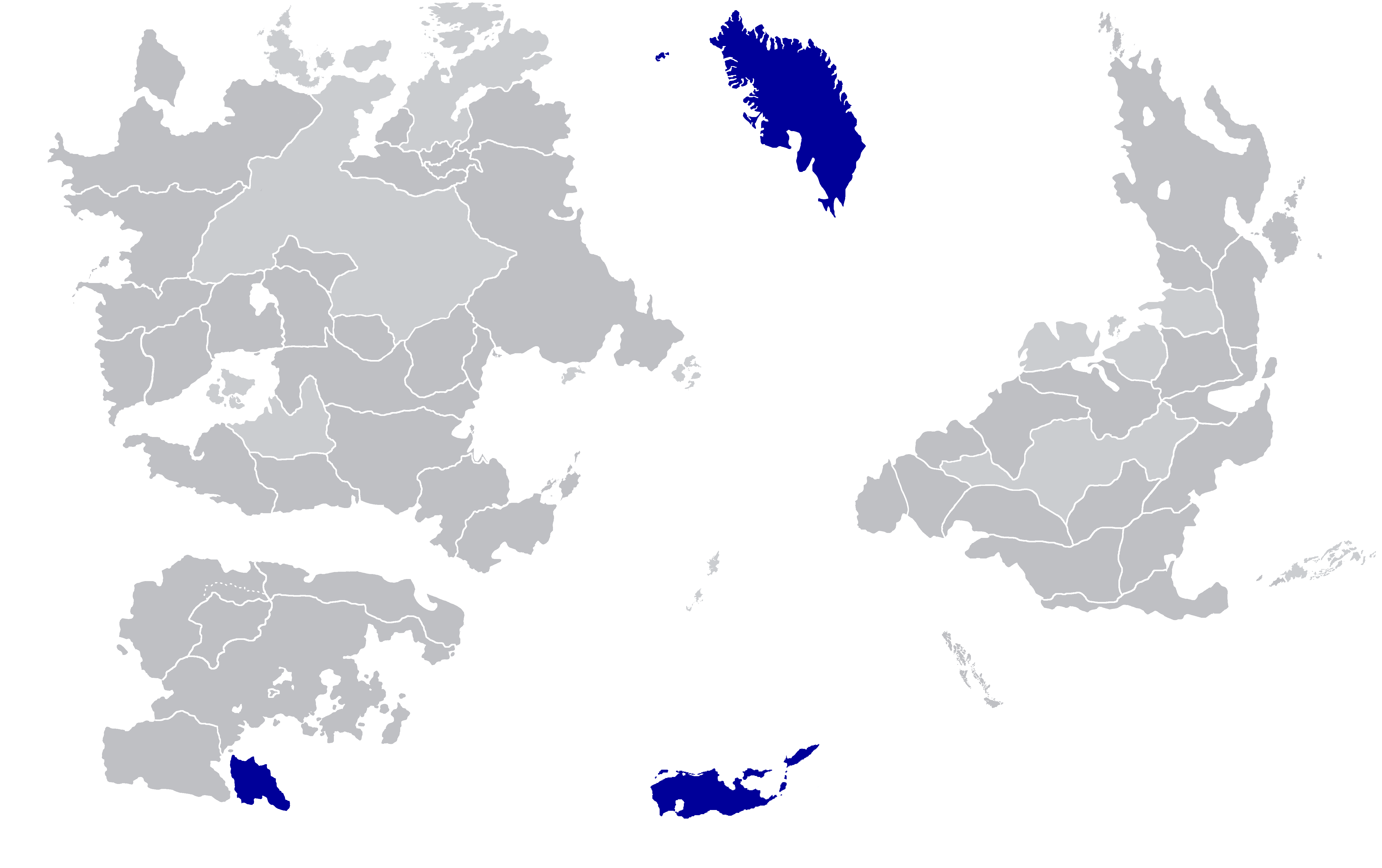
File:Map of island countries.png
Jump to navigation
Jump to search


Size of this preview: 800 × 503 pixels. Other resolutions: 320 × 201 pixels | 2,000 × 1,257 pixels.
Original file (2,000 × 1,257 pixels, file size: 41 KB, MIME type: image/png)
map
File history
Click on a date/time to view the file as it appeared at that time.
| Date/Time | Thumbnail | Dimensions | User | Comment | |
|---|---|---|---|---|---|
| current | 14:02, 22 July 2023 | | 2,000 × 1,257 (41 KB) | Not Gagium (talk | contribs) | |
| 14:02, 22 July 2023 | Error creating thumbnail: File with dimensions greater than 12.5 MP | 5,311 × 3,337 (190 KB) | Not Gagium (talk | contribs) | ||
| 14:01, 22 July 2023 | Error creating thumbnail: File with dimensions greater than 12.5 MP | 5,311 × 3,337 (189 KB) | Not Gagium (talk | contribs) | ||
| 23:16, 8 July 2022 | 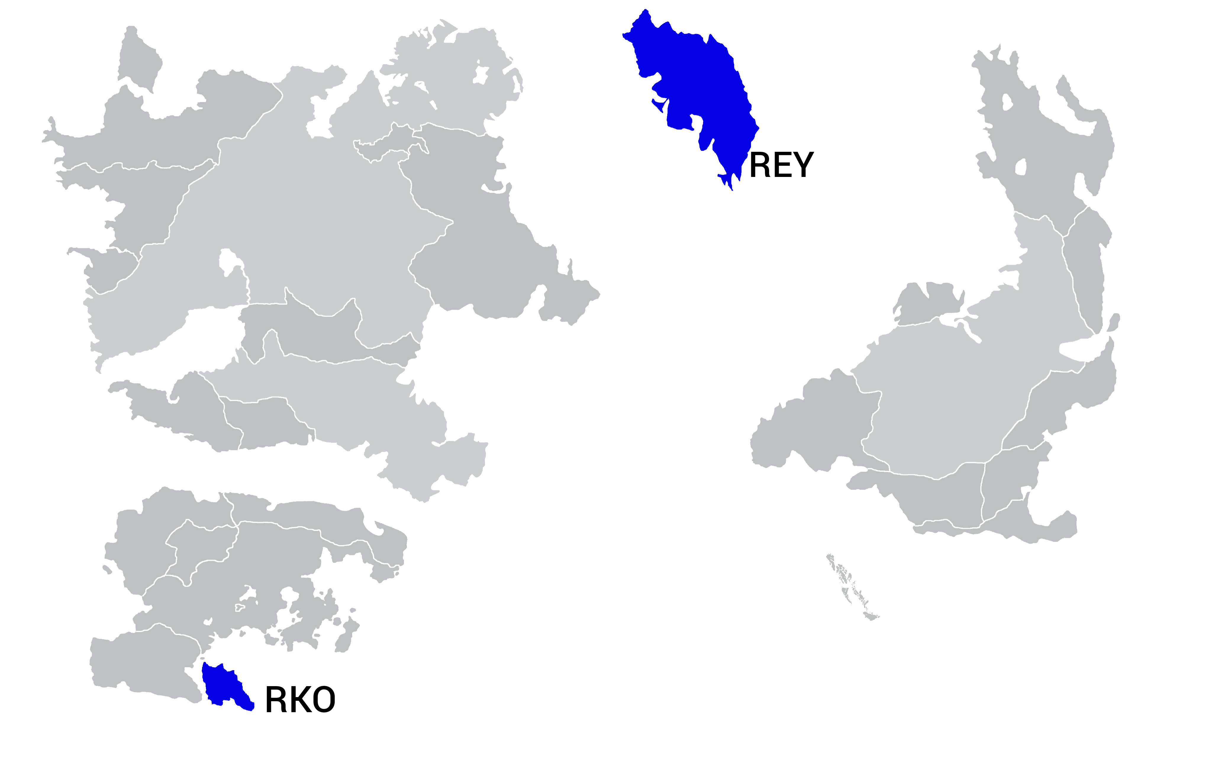 | 4,096 × 2,572 (314 KB) | LeotropolisG (talk | contribs) |
You cannot overwrite this file.
File usage
The following page uses this file: